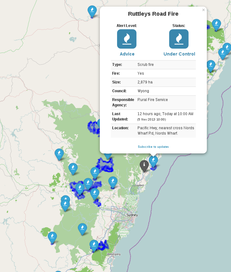
A few weeks ago surrounding Sydney was facing some serious bushfires. Like a lot of other people, I wanted information. Information on where the fires where and when they were there so I could plan which areas to best avoid.
The RFS do have a map on their website to show this, but I was frustrated by their tiny map and its poor usability.
Clicking each marker gave you a popup which filled the whole map window making it very hard to close again and pan around.
So I set off and quickly hacked together the basics to take the data their map and place it on a full screen Leaflet map.
Currently map.rfs.nsw.gov.au goes nowhere, so I built the website I expected to get by going to map.rfs.nsw.gov.au and I now host it at http://tianjara.net/rfs
There was some initial pain with consuming their GeoRSS feed but I managed to resolve that. I'm also quite pleased with the nicely formatted popups. They are highly visual and easy to read (eg. "2 hours ago" rather than a full date time string).
I've released the whole site under the CC0 license. http://github.com/andrewharvey/map.rfs
I've also sent off a note to the RFS explaining my motives and what is wrong with their map and that hey here is an example of how to make it better. Unfortunately I've hear nothing back from them.
