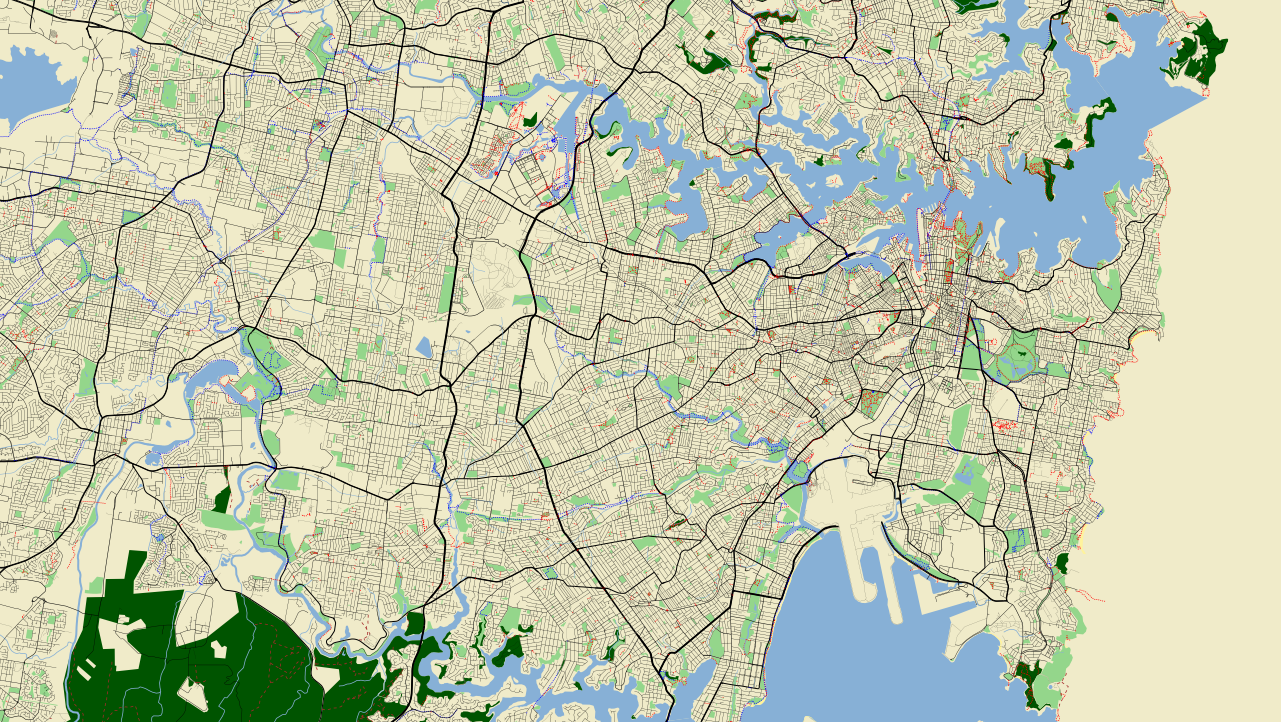
A short time ago TileMill got support for PostGIS data sources. I'm really excited by this as it means you can use TileMill, which is very easy to use, having a gentle learning curve, to construct your own OpenStreetMap stylesheets and see the data being rendered using your style. This is great! e.g. in less than an hour I made this,
[caption id="attachment_1306" align="aligncenter" width="600" caption="Map data © OpenStreetMap contributors, CC-BY-SA"] [/caption]
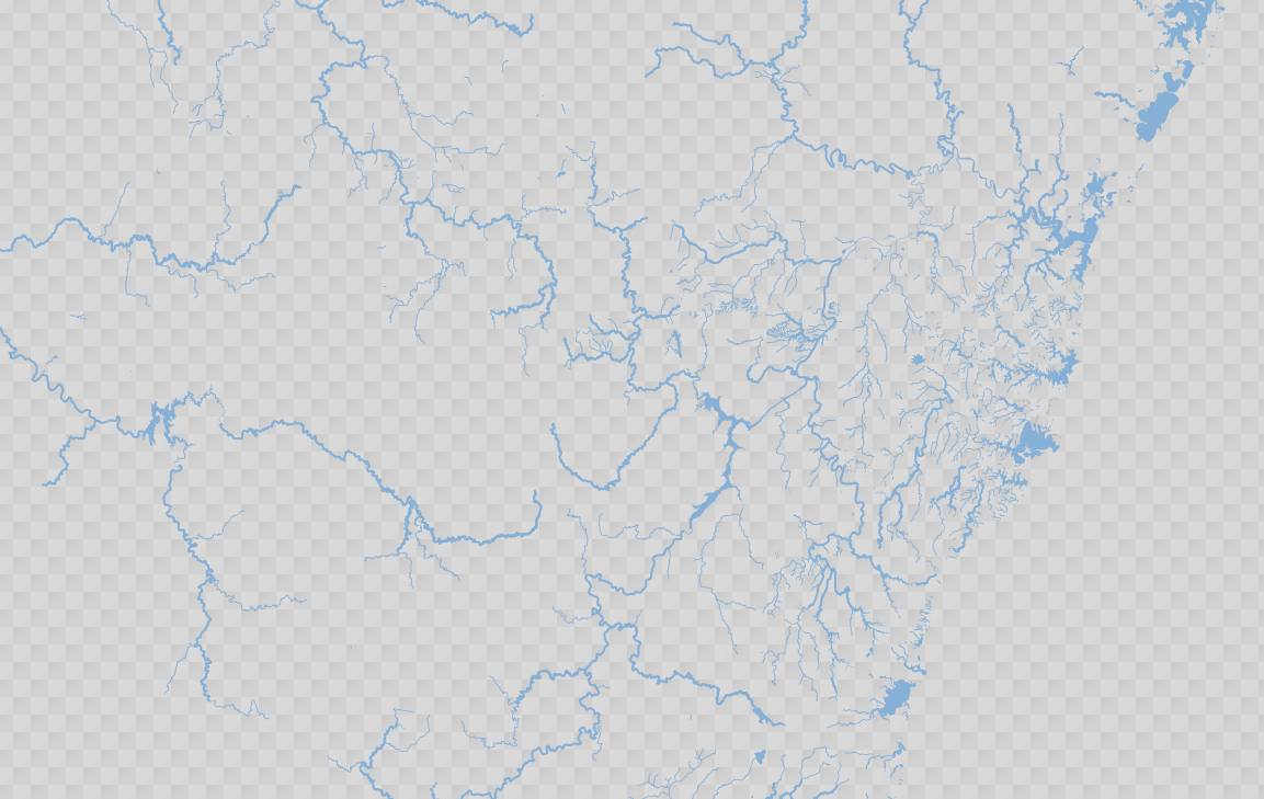
Want a map which just shows the drainage network (which you can see from low zooms)? Easy.
[caption id="attachment_1307" align="aligncenter" width="600" caption="Map data © OpenStreetMap contributors, CC-BY-SA"] [/caption]
I'm sure I'll be publishing lots of new styles in the near future, one of which will be a style designed as an aerial image (NearMap) overlay. Exciting times ahead...