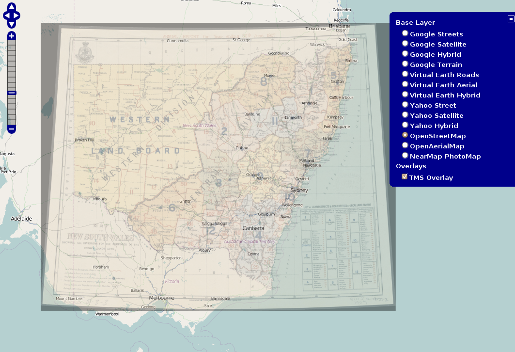
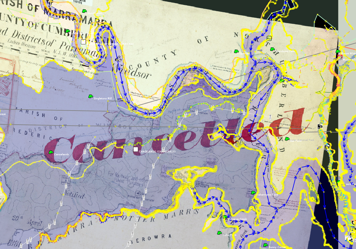
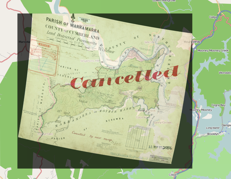
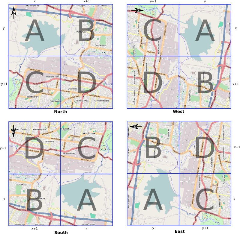
I've taken some time to look at the NearMap licenses (Community License, Free Commercial License) more closely. Here is some of my commentary of them. I'll use the terminology used in the licences so please excuse me for using their language and jargon. When I say free I mean free as in "free software", "free culture" and "free as in freedom". Also this is just my interpretation from reading them, I am not a lawyer. Hopefully I've interpreted them as NearMap intended.
Derived Works
The licenses create a distinction between a PhotoMap or modified PhotoMap, and a work made using information derived or observed from the PhotoMaps. So they separate out works like vector information about roads derived or observed from their PhotoMap from other derived works (what they call modified works) like someone photoshoping fake roads into the imagery. My preconceptions of the Australian Copyright Act were that both of these things are "derived works" which are subject to the copyright of the original work, but despite this I really like the separation made in NearMap's licenses here. I do think there is a difference and whatever their motives, they are essentially saying "information is free" so you must distribute any information you observe under the CC BY-SA license. Of course if information and facts were really free then the copyright law would say so (and you wouldn't have to be in doubt due to the Telstra phonebook cases) and you wouldn't need to add your defence of this freedom via the SA clause... to quote Nina Paley,
"ShareAlike is an imperfect solution to copyright restrictions, as it imposes one restriction of its own: a restriction against imposing any further restrictions. It's an attempt to use copyright against itself. As long as we live in a world wherein everything is copyrighted by default, I will use ShareAlike or some other Copyleft equivalent to attempt to maintain a "copyright-free zone" around my works. In a better world, there would be no automatic copyright and thus no need for me to use any license at all. Should that Utopia come about, I will remove all licenses from all my work. Meanwhile I attempt to limit other peoples' freedom to limit other peoples' freedom."
-- http://questioncopyright.org/CC-branding-confusion
Another important observation that I previously overlooked is the fact that,
"You will own all Derived Works that you create. However, you may only distribute Derived Works to others on the terms of a Creative Commons Attribution Share Alike (CC-BY-SA) licence (and you may use any version of that licence you wish, whether localised for a particular country or not). For example, you may Use the Licensed PhotoMaps or Modified PhotoMaps to obtain information which you can then use, under the Creative Commons Attribution Share Alike (CC-BY-SA) licence, to populate or update community street mapping projects."
-- http://www.nearmap.com/products/community-licence#clause5
Previously I had thought that any derived works that came from NearMap PhotoMaps used in OpenStreetMap needed to be attributed to NearMap. I guess I just incorrectly thought that all the information was CC BY-SA licensed by NearMap, but that is not the case. These works actually need to be attributed to the user who observed that information and turned it into a work by, for example, adding it into the OSM database. The works do not need to be attributed in any way to NearMap.1 This also means that any copyright that arises from any creativity in deciding what to trace, and any copyright that arises from the tracing being a derivative work can be treated as CC BY-SA licensed by that person or user. That person is the copyright holder but they are only allowed to distribute the work under a CC BY-SA license. This is a good thing! I'm glad that NearMap have not chosen to change the wording to make it compatible with the public-domain-like OpenStreetMap contributor terms, as (unless of course one has some other license from NearMap) it guarantees that this information remains free2.
The discussion and use of Yahoo imagery as a source of tracing for OpenStreetMap was before my time, but from http://wiki.openstreetmap.org/wiki/Yahoo it seems that strong legal foundations are lacking. In this respect I feel much safer tracing from NearMap. I know that my contributions can be licensed under the free CC BY-SA license and nothing can be done to unfree these works. Whereas the legalities of Yahoo imagery is, at least from my reading, very questionable and potentially a huge problem in the future.
Modified Works
Another reason I took a closer look at the licenses was to make sure that the works I posted earlier which were modified PhotoMaps complied with all licensing requirements, both the NearMap and OpenStreetMap requirements. I have come to the conclusion that unfortunately I am most likely unable to satisfy both the Mapnik share-alike requirement and the NearMap share-alike requirement in coexistence.
The NearMap "free community licence" gives me the "right to use, copy, modify and distribute our PhotoMaps". The distribution to others clause says that I must give NearMap attribution for the distribution of any original or modified PhotoMaps, however the license also says "You may sublicense your rights to the Licensed PhotoMaps, Modified PhotoMaps or APIs to others on the same terms as this licence or our free commercial licence." I interpret this as if I modify a PhotoMap I need release it under the "NearMap free community license", that is it is share-alike.
On the other hand though, I also used the default OpenStreetMap Mapnik-style map images. My understanding is that like the data used to create these maps, the actual map images are copyrighted by all the OpenStreetMap contributors and released under the CC BY-SA license. The share-alike means that any derivative works (like overlaying NearMap terrain maps) must the released under a CC BY-SA compatible license, so you cannot impose non-commercial or non-government on it. However although the NearMap free community licence plus the NearMap free commercial license almost allow anyone to use or modify the work they don't meet CC BY-SA because they exclude government and exclude commercial use made in a "competing manner" and use that is "material to their business". This leaves me to believe that I cannot legally distribute any work that is a mash-up of OSM data/maps and NearMap PhotoMaps. Unless of course that it is only the default Mapnik tiles that are CC BY-SA, and that anyone can copyright map images made from OSM data. Because NearMap uses OSM data to create Mapnik tiles using their own map style. I assume then that it is only the OSM data that is CC BY-SA and someone is free to make a non-free map using their own style from this data. Then they would own the copyright to that map and hence you would be free to combine this with NearMap's PhotoMaps and release the product under their free community license. This could also explain why NearMap can overlay their transparent tiles based on OSM data over their non CC BY-SA imagery.
It is a shame, but I can totally understand NearMap restricting use of their PhotoMaps in a specific field of endeavor, namely the government. The government is central to their current revenue stream, without it they probably could not produce the volume of work they currently do under their almost free, community license. It is almost CC BY-SA, except they exclude three fields of endeavor, "Competing Manner", "Material to their business" and "Government Entities that use our PhotoMaps for their own governmental purposes". The first two exclusions make the PhotoMaps near CC BY-NC-SA, but the last clause means they cannot be compatible with any of the Creative Commons licenses.
Licensed PhotoMaps
Let me use the example case of distribution of original NearMap PhotoMaps. For instance say I download a bunch of imagery tiles and distribute them through BitTorrent, the key question here is do I need to enforce that this distribution is to non-government entities. If I am only allowed to distribute it to non-government, I cannot do that, so the freedoms that the license grants are not as broad as I thought. If on the other hand if I can distribute the works to government entities along with the free community license as a LICENSE file, but leave the responsibility and liability on the government to not use the works I make available, then this would be much better. Hopefully the latter is the case. This was almost touched on here, but which party the liability lies on was not mentioned.
Termination
This is why I hate reading all this legal jargon, every word is important but has different interpretations. Code on the other hand has just one interpretation, and that is defined in the compiler... Anyway, at first I thought this termination clause meant NearMap could terminate the license grant at any time, however I missed the words "if the other party breaches this licence". I view this to mean that NearMap cannot terminate the license grant unless you breach the license. But even if such a case arose, derived information is safe. So NearMap can do nothing to prevent the CC BY-SA distribution of derived information. Although it appears all the other parts of the license grant can be subject to this clause.
1 However I still think that one should attribute NearMap regardless. In the OSM case, attribution using the source tag should be done for other reasons as well; like so people know where the data came from, hinting some clues of the quality of the data.
2 Without turning this into a copyleft v permissive debate, I think that CC BY-SA is the most common license in use (there is a whole OSM database under it), so to avoid incompatibilities with other works under different share-alike licenses, CC BY-SA is probably the best choice at the moment. Some people say CC BY-SA is not for data, this is true, but that doesn't stop the Australian government releasing data under the license, but more to the point, CC BY-SA has a clause that allows derivative works to also be licensed under a "Creative Commons Compatible License" that is listed at http://creativecommons.org/compatiblelicenses. One would hope that if someone creates an attribution share-alike license suited for data that would protect that data in jurisdictions that copyright data, and leave it free to use without restriction in jurisdictions that don't copyright data (so don't try to force attribution share-alike in these jurisdictions with contracts), Creative Commons could add this as a Creative Commons Compatible License, and all works like the current CC BY-SA OSM database could be relicensed under that data attribution share-alike license.
 [/caption]
 [/caption]
 [/caption]