 Maps
Maps
Standard Slippy Maps
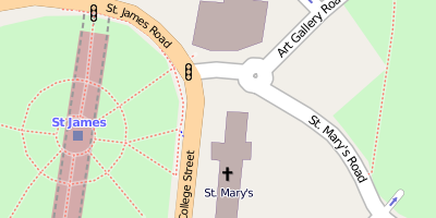
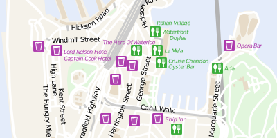
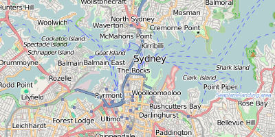
The standard OSM-Mapnik stylesheet applied to FOSM data.
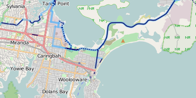
The cycle overlay is a very basic style which shows cycle networks, cycle paths and on-road cycle lanes. It is designed to be overlaid on another map.
The stylesheet is written in carto, available here, and licensed under the CC0 license.
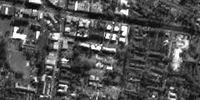
OSMT is a transparent map stylesheet based on FOSM/OSM data for overlaying on aerial or satellite imagery.
The stylesheet is written in carto, available here, and licensed under the CC0 license.
In this example we have shown it over the AGRI base imagery which is © Commonwealth of Australia (Geoscience Australia) 2011 CC BY 3.0 AU.
The librecity map was inspired by the GTA IV Liberty City Wall Map.
The stylesheet is written in carto, available here, and licensed under the CC0 license.
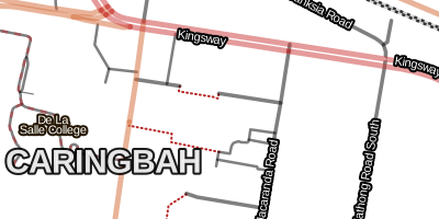
In keeping with good design, maps should be kept simple by default with more complicated features only shown when required. By leaving the administrative boundaries off by default I think the map is easier to use.

This map helps to emphasise just how much data is in OpenStreetMap. It shows all lines and polygons with equal prominence at all zoom levels.
The stylesheet is written in carto, available here, and licensed under the CC0 license.

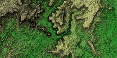
This hypsometric tinted shaded relief map of the Australian continental topography and marine bathymetry gives a nice large scale insight into what lies beneath the surface of the ocean.
Scripts for creating this map are avaliable and the map is released under CC BY 3.0 AU, based on Elevation and Bathymetry Data © Commonwealth of Australia, (Geoscience Australia) 2009.
Standard street maps usually ignore showing terrain with good reason, their representation would just complicate the map and provide no added value since lets face it, if you are in your car you don't really care where the hills are.
This terrain map has only one purpose — to show elevation. Based on SRTM data collected from the NASA Space Shuttle from 2001, it still proves to be the best quality, highest resolution, free digital elevation data available.
The map is licensed CC0, based on public domain SRTM data. The stylesheet source code is available.
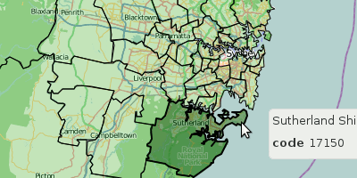
This map uses vector tiles generalised to your zoom level to provide a fast interactive map showing LGA boundaries. Because it uses vector tiles we can highlight the different regions as you hover your mouse over them and display in real time attribution against that region. This is much better from a human computer interaction principles point of view.
Australian Statistical Geography Standard (ASGS) data is CC BY 2.5 AU
Special Slippy Maps
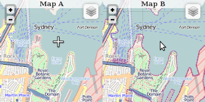
Built using the Leaflet interactive map library two maps are shown side by side with each view kept in sync.
Source code here, licensed under the CC0 license.
FOSM Data & Mapping Services


I provide NSW fosm extracts built up from an OSM import patched with the fosm minute-replicate files. Historically fosm.org didn't provide a planet file hence I produced this dataset.