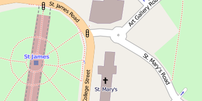
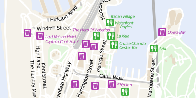
This is the same style used as the main layer on www.openstreetmap.org.
Tile access API (help)
http://173.230.151.169/tiles/fosm/mapnik/zoom/x/y.png
OSMT is a transparent map stylesheet based on OSM data for overlaying on aerial imagery.
The stylesheet is written in carto available here, licensed under the Creative Commons Attribution-ShareAlike 2.0 license.
The base aerial photography is from NearMap.
Tile access API (help)
http://173.230.151.169/tiles/fosm/osmt/zoom/x/y.png
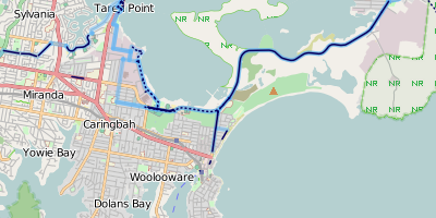
The cycle overlay is a very basic style which shows cycle networks, cycle paths and on-road cycle lanes. It is designed to be overlaid on another map.
The stylesheet is written in carto available here, licensed under the CC0 license.
Tile access API (help)
http://173.230.151.169/tiles/fosm/cycle-overlay/zoom/x/y.png

Wireframe OSM showing all ways.
The stylesheet is written in carto available here, licensed under the CC0 license.
Tile access API (help)
http://173.230.151.169/tiles/fosm/wireframe-bw/zoom/x/y.png
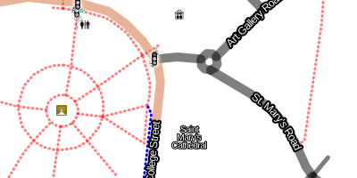
This is the same style used as the main layer on www.openstreetmap.org except without the admin boundaries. In keeping with good design, maps should be kept simple by default with more complicated features only shown when required. By leaving the admin boundaries off by default I think the map is easier to use.
Tile access API (help)
http://173.230.151.169/tiles/fosm/mapnik-noadmin/zoom/x/y.png
This is style was inspired by the GTA IV Liberty City Wall Map
Tile access API (help)
http://173.230.151.169/tiles/fosm/librecity/zoom/x/y.png
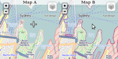
Based on the Leaflet interactive map library two maps are shown side by side and kept in sync.
Source code here, licensed under the CC0 license.

- Full Feed (source code), or
- Within a bounding box of... (source code)
- Specify extents manually,
You need JavaScript enabled for this URL to be dynamically generated.
- Specify extents manually,