OpenStreetMap: My Story
![]()
Andrew Harvey
This presentation was originally prepared for and presented at the fifth Sydney GeoRabble.
This presentation makes uses of the following third party works:
- OpenStreetMap Logo by Ken Vermette licensed under the Creative Commons Attribution-ShareAlike 2.0 License.
- Map Data & Map Images © OpenStreetMap & FOSM Contributors CC BY-SA 2.0.
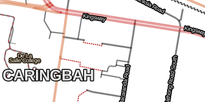
- Maps and Data derived from OpenStreetMap & FOSM data, © OpenStreetMap & FOSM Contributors CC BY-SA 2.0.
- PhotoMaps © NearMap, used under the terms of the NearMap Community License
- Watercolor map by Stamen Design, under CC BY 3.0. Based on data by OpenStreetMap, under CC BY SA.
- Symbols/Icons from Maki and SJJB Management; under the public domain.
These presentation slides and the presentation itself is released by the author Andrew Harvey under the Creative Commons Zero 1.0 license.
For more mapping goodness check out tianjara.net.


road classifications
 max speed, max weight max speed, max weight
 turn restrictions turn restrictions
 tree species
creeks and rivers tree species
creeks and rivers
 administrative boundaries administrative boundaries
 place names place names
 sports grounds sports grounds
 picnic tables
outdoor bbqs picnic tables
outdoor bbqs
|
 bus routes bus routes
 shops shops
 restaurants restaurants
 opening hours opening hours
 bushwalking tracks bushwalking tracks
 bike lanes bike lanes
 buildings buildings
 mountain ranges mountain ranges
 electrical grids electrical grids
|
No left turn from A to C via B.

| Contribution | User |
|---|---|
| 19.48% | ABS2006 |
| 8.02% | Franc |
| 5.92% | JohnSmith |
| 3.27% | rrankin |
| 2.76% | swampwallaby |
| 2.51% | Rosscoe |
| 2.25% | behemoth14 |
| 2.07% | nm7s9 |
| 2.03% | mrpulley |
| 1.52% | drlizau |
| 1.50% | macAlba |
| 1.41% | Chadzopkyo |
| 1.33% | Ebenezer |
| 1.23% | c-j-b |
| 1.20% | markus_g |
| 1.16% | Zhent |
| 1.16% | Trav |
| 1.12% | Biogenesis_ |
| 1.10% | Jack Kirby |
| 1.10% | VK1RE |
| 1.03% | aharvey |
| 1.01% | MichaelCollinson |


