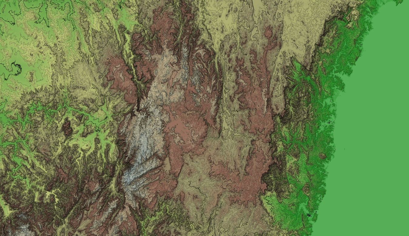
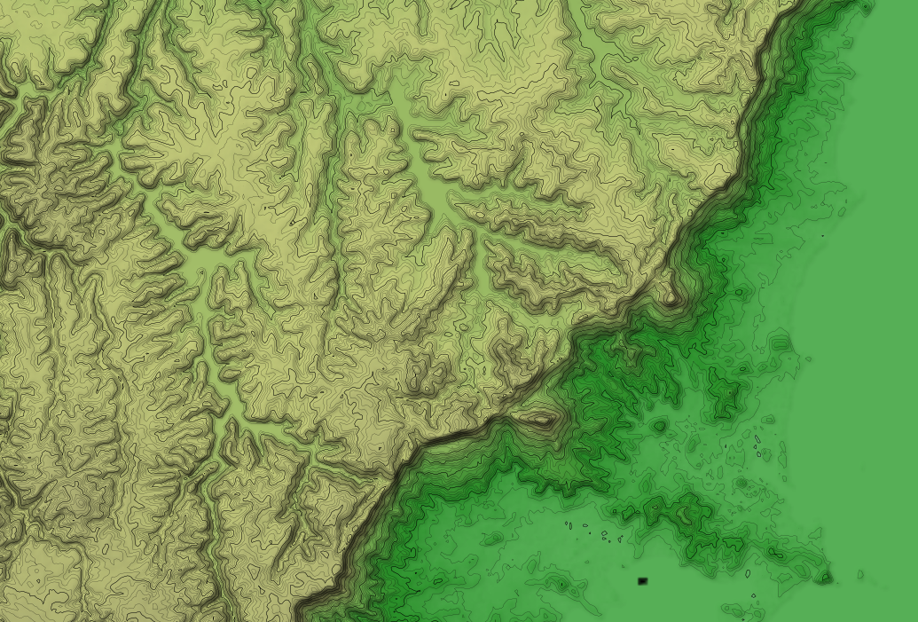
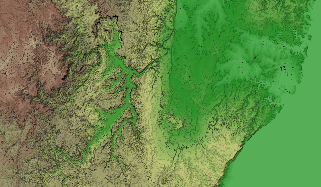
I've recently pushed out a new srtm3-stylesheets repository which contains shell scripts for working with NASA SRTM DEM data, gdaldem based stylesheets for shaded relief maps, Mapnik stylesheets for contours and a TileStache configuration for sandwich those styles together into a single map.
This was spurred on by the fact that I simply needed a map which showed hills. I've used Andy Allan's OpenCycleMap in the past which has color relief and contours. Unfortunately it is closed source.
So I put my head down and hacked together repeatable scripts to get the source data up and running and some basic stylesheets to produce a usable and pleasant looking map. All released as free and open source software under the CC0 license.
I want to avoid adding things like streets etc, such maps could be built as separated layers based upon this style and sandwiched together, for example, with the TileStache sandwich provider.
I hope to build upon the lessons learnt here to produce a map like the Stamen Terrain map, except with the source code released under a free and open source license. Perhaps just with hill and slope shading applied to landuse with other map features placed on top.
I've rendered NSW (only server resource prevent worldwide!) as a slippy map here.


